Know where the line moved this month.
A monthly satellite check of your boundary flags new clearing, roads, mining and cultivation, so patrols go to the sectors that changed.
How encroachment gets found now
You plan next month's patrols from the sector map. Every post has more boundary than it has people, so the routes lean towards the sectors where something turned up last time, and the edge beside a settlement or a concession gets walked when there is time. A ranger finds a cleared plot, an old track that has been widened, or a pit with a pump in it, writes it into the patrol report, and it goes into the incident register.
By then the maize is up. Whoever cleared it has been there a season, and what could have been a warning at the edge is a dispute about people who have already settled. The clearing began weeks or months before anyone with a notebook stood on it, and nothing in your records says when.
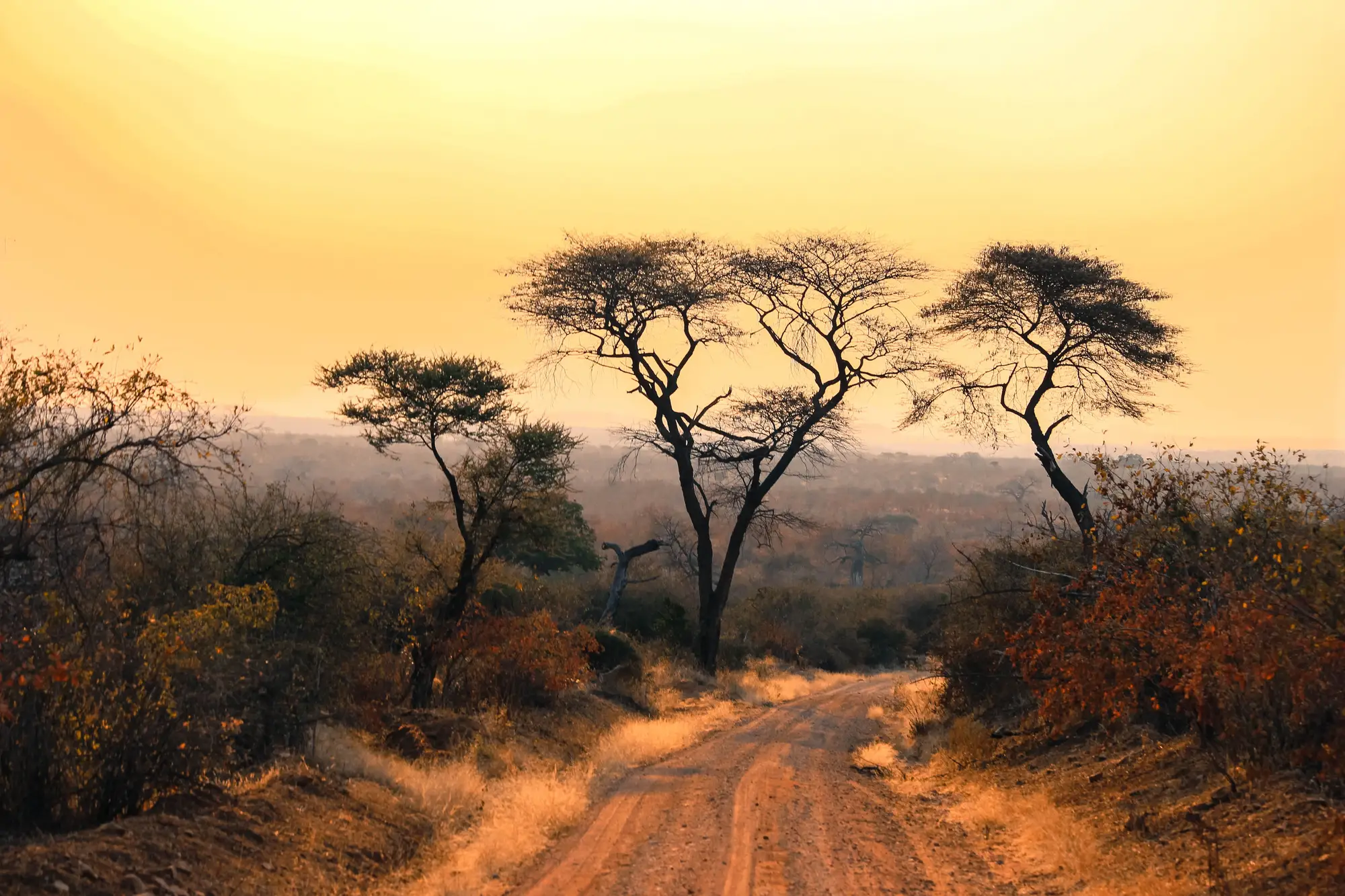
The question each month is which sectors changed since the last patrol went out. That is what a monthly alert list gives the coordinator: the places where land cover is different from a month ago, ready to sit next to the sector map on briefing day.
What arrives each month
Monthly alert list
CSV, one row per flagged location. Coordinates, the type of change (clearing, road, mining or cultivation), the approximate area, and the dates of the two passes it was found between. It is meant to arrive in time for monthly patrol planning, so sector leads can have it before the briefing.
One row of the alert list
- Coordinates
- latitude, longitude
- Change type
- clearing, road, mining or cultivation
- Approximate area
- hectares
- Pass dates
- the two passes it was found between
Boundary change layer
GeoPackage or shapefile. The same alerts as polygons and lines you can draw over your gazetted boundary and patrol sectors in QGIS or ArcGIS. Send your sector polygons and each alert carries the sector it falls in.
Trend view
A running picture of where change has clustered over recent months, by sector. It is the page for the management plan review and the board report: a repeatable record of where the boundary is under pressure, built up month by month.
How it works
Send the boundary
Your gazetted boundary as a shapefile or GeoPackage. Add the buffer zone and the patrol sectors if you want them mapped too.
Baseline pass
We pick a clear pass to start from. Everything already cleared at that date is the starting picture, not an alert.
Each month
A fresh medium-res multispectral pass is sourced and compared with the previous one. New clearing, roads, mining and cultivation inside the line are flagged.
Alert list to your desk
You get the list and the layer. Your coordinator decides which flags a patrol visits, and what the ranger finds on the ground goes in your own incident record.
Limits
Alerts are a screen for where to send a patrol. Each of these limits is stated in the delivery too.
1Weeks old, not live
The check runs monthly. A flag can show change that started weeks before the pass, and a cloud-free pass may not exist in a given month, which pushes that check to the next cycle. Nothing here is real-time.
23–10 m is the floor
At this pixel size a large clearing is well resolved. A small plot, a single felled tree or a footpath is a pixel or two and may not show. A narrow track shows only where the cleared strip is wide enough.
3Under the canopy
Selective logging and mining under standing forest can leave the canopy looking unchanged from above. An area with no alerts is not proof that nothing happened there.
4A flag is not evidence
An alert says land cover changed at a location between two dates. It does not say who did it, and it is not verified field evidence. A ranger visit is what confirms or rejects it.
5Type is a best label
The change type on each alert is the analysis's best reading. Bare ground from a burn, a landslide or a new water body can look like clearing, so a few flags will be natural change.
Who it's for
- Ranger coordinators and park management officers who plan patrols for a protected area.
- Authorities with more boundary than patrol capacity, who want to send people to the sectors that changed.
- Teams that report a boundary trend in a management plan review or to a board or donor.
Who it's not for
- Teams that want real-time alerts or an alarm while an incursion is under way.
- Evidence for prosecution. The alert directs a patrol and is not a finding.
- Identifying who is responsible for a change.
- Detecting small-scale or under-canopy activity below what a 3–10 m pixel can resolve.
Questions from coordinators and procurement
Is an alert evidence we can use in a case?
No. It is a screening flag that tells a patrol where to look. What holds up is what your rangers record on the ground.
What can it miss?
Small plots, single trees, footpaths and activity under standing canopy, since all of those fall below what a 3–10 m pixel resolves. It also misses anything hidden by cloud in that month's pass.
How fast do alerts arrive?
Monthly. The change is already weeks old when it is flagged, so use the list to plan patrols and expect no live feed.
Can it tell us who cleared the land?
No. It reports that land cover changed at a location and nothing about who is responsible.
What happens when a month is cloudy?
If no usable pass exists, the check moves to the next cycle and the delivery says so, so a missing month is never read as a clean one.
How do we check it against what our rangers find?
Every alert carries the two pass dates, so a ranger visit can be matched to it. Send back what patrols find and the labels can be reviewed against your incident register when the area is scoped.
Will it load into the tools we use?
The layer opens in QGIS and ArcGIS and the list is a CSV. Whether it can be imported into your patrol or incident recording software depends on that software, so tell us what you run when the area is scoped.
Who owns the layers you deliver?
Use and ownership terms for the delivered layers are written into the contract before work starts. The public satellite archives the maps come from keep their own licences.
How is it priced, and how do we buy it?
Each protected area is scoped and quoted on its own, from its size and how many sectors and months you want covered. You get a written scope you can take through your authority's procurement.
Send us the boundary and we'll scope a monthly alert list for it.
Or ask about your protected area in the .
Get started