9 November 2026
How often should satellite imagery refresh for boundary monitoring?
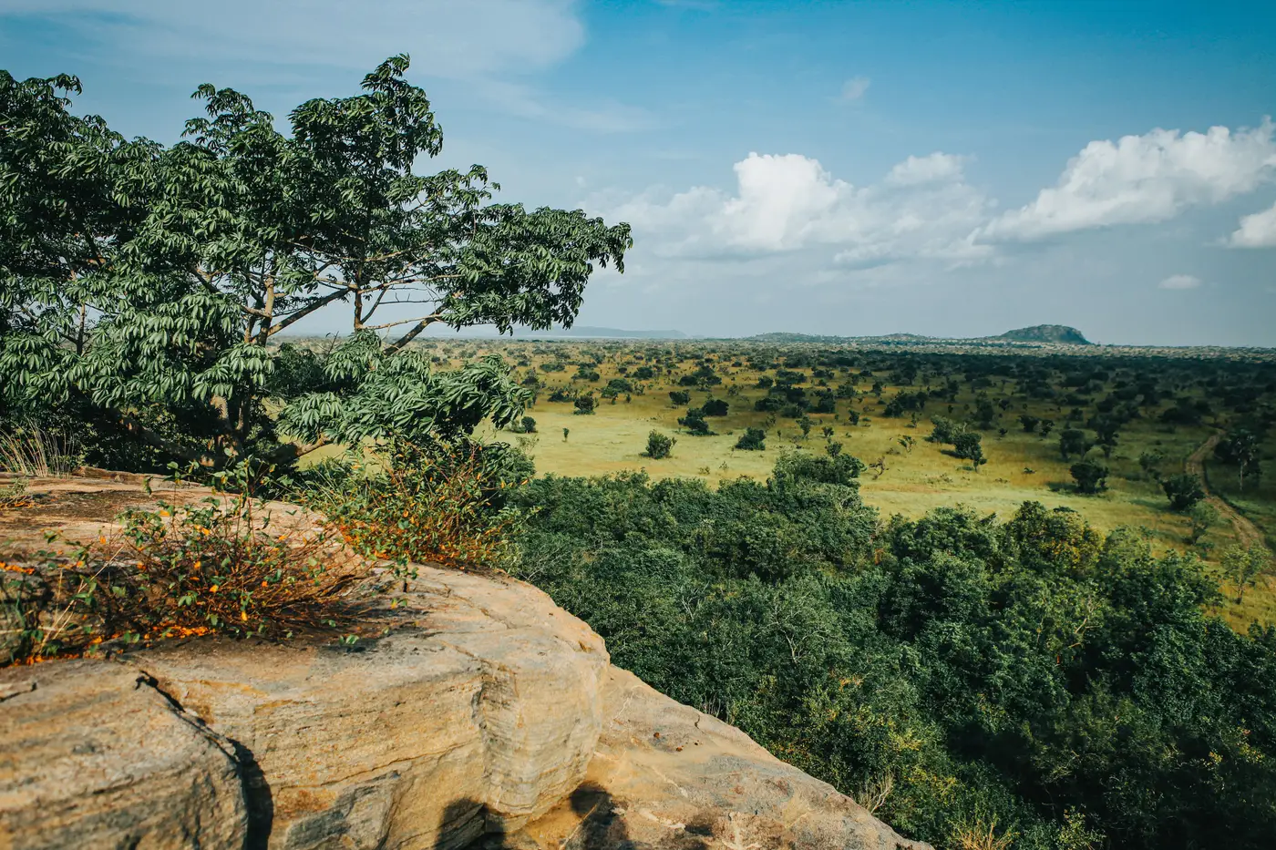
A ranger asked me this after a budget meeting where someone on the board floated weekly tasking: "Why would we pay for weekly imagery when the thing we're trying to catch takes longer than a week to matter?" That's the real question hiding inside the refresh-rate one, and it's worth answering properly instead of defaulting to "more often is better."
What actually changes between passes
Encroachment doesn't show up as a single event. A cultivation plot inside the boundary starts as a cleared patch, then gets planted, then gets a footpath worn into it from repeat visits. A logging track starts as a single pass of a bulldozer blade and widens over the following weeks as more loads go out. None of that resolves in 24 hours. Most of it is still visible, and still actionable, three or four weeks after it starts.
That's the gap daily or weekly tasking doesn't close any better than a monthly pass does, at medium resolution anyway. At 3 to 10 m ground sample distance you're not counting individual trees or reading tire tracks. You're looking for a patch of bare ground, a new linear feature, a change in canopy texture that wasn't there last time. Those signatures are stable over weeks.
A road doesn't disappear between Tuesday and Thursday. A cleared block doesn't get replanted overnight. The cost of catching it on day 10 instead of day 3 is close to zero, because your patrol wasn't going anywhere near that grid square on day 3 regardless.
Matching cadence to your patrol cycle
The cadence question only makes sense next to the other number in the room: how often do your patrols cover the full boundary. For most authorities running on the staffing most authorities run on, that's measured in months, not weeks. A monthly imagery pass that lands a week or two ahead of the patrol rotation means your rangers walk out with a short list of grid references instead of a boundary line to eyeball end to end. That's the pairing that matters, not imagery cadence on its own.
Where tighter cadence earns its cost is active, contested ground: a section of boundary with a known access road, a community land dispute still working through the courts, a concession boundary somebody keeps testing. There, weekly or sub-weekly tasking (and usually higher resolution to go with it) is buying you something real, because the baseline risk of new activity per week is high enough that the lag matters. For the rest of the perimeter, that's spending on resolution the ground doesn't need yet.
Where monthly starts failing you is fast-cycle removal: selective logging where a crew goes in, takes the merchantable stems, and is gone within days, leaving a canopy gap that partially closes before your next pass. If that's the main threat on your reserve, monthly cadence will underreport it and you need a different tool for that specific boundary segment, not a blanket upgrade to the whole site.
So the honest answer: for boundary-wide monitoring of clearing, new roads, mining, and cultivation encroachment on a typical multi-use protected area, a monthly satellite pass against the boundary line matches how fast that kind of change develops and how often you can realistically get a patrol out to check it. You go tighter than that on specific flashpoints you already know about, not as a blanket policy, because the budget for weekly tasking across an entire reserve rarely survives contact with the rest of the park's operating costs.
Encroachment Alerting runs on that logic: a boundary layer checked against a fresh pass every month, with the flagged points handed to you as a list, not a stack of scenes to scroll through. If you're weighing cadence against what your patrol team can act on, that's worth a look.